History
It came from two words: “map” and “bioma”. “Map” means a map, while “bioma” means a large-scale ecosytem. Biomas with “s” in the end, reffers to plural form of bioma, so “MapBiomas” was a map of the biomes. The map that built by MapBiomas are processed using machine learning with cloud computing through Google Earth Engine.
MapBiomas was first developed by a Brazil’s civil society network in 2015, which was then disseminated to other countries. Untill now, MapBiomas has brings the view of maps of 14 countries, and thematic maps, such as Fire, Water, as well as regional maps, such as Amazonia, Chaco, Pampa, Atlantic Forest.
Thus far, Indonesia is the only country outside Latin America that has developed MapBiomas, since 2017, in 2020 MapBiomas Indonesia released Collection 1.0 which contains the dynamics of Indonesia's land cover 2000-2019. In 2023, MapBiomas Indonesia will release Collection 2.0 which contains 11 land cover classes in Indonesia from year to year in the range 2000-2022. The data and/or maps produced by MapBiomas Indonesia are open to the public, and can be accessed on the MapBiomas Indonesia Platform.
Network
MapBiomas Indonesia is an Indonesian civil society network that was established as an effort to encourage land cover transparency for the benefit of Indonesia's population and nature. MapBiomas products are expected to build data dialogue so that regulations, policies and implementation of Indonesia's natural resource management rely on more solid data.
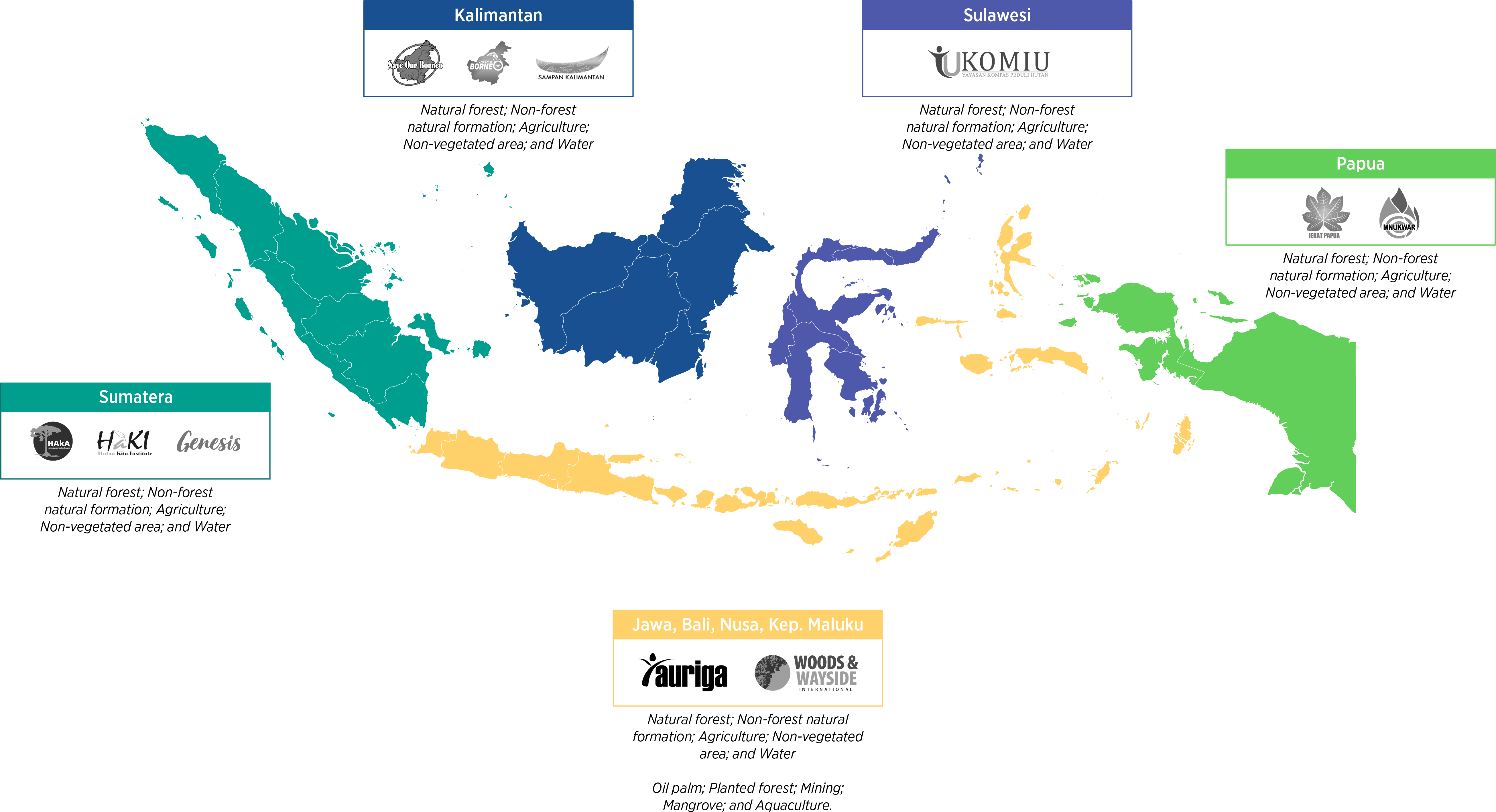
Together with the civil society networks Mapbiomas Indonesia was developed, they are:

MapBiomas Indonesia Scientific Advisory Committe
Considering that the MapBiomas Indonesia platform plans to continuously update data, add cover classes, develop thematic maps, such as fire, deforestation, by utilizing the latest technology, it is important for this initiative to obtain scientific input or recommendations through the Academic Advisory Committee (SAC). This committee is a part of the institutional arrangement used to give advice based on the availability of the best science so that policies or initiatives have a large impact.
MapBiomas Indonesia’s SAC consists of 5 figures selected with consideration of (i) geographical representation, (ii) complementary knowledge, (iii) gender balance, and (iv) multi-stakeholder.
MapBiomas Indonesia Planning in a Breaf
In addition to continuously updating land cover dynamics, MapBiomas Indonesia plans to add cover classes so that the information it contains is completer and more relevant for Indonesia's development planning. Furthermore, MapBiomas Indonesia also plans to develop thematic maps, such as MapBiomas Fire and MapBiomas Alerta.